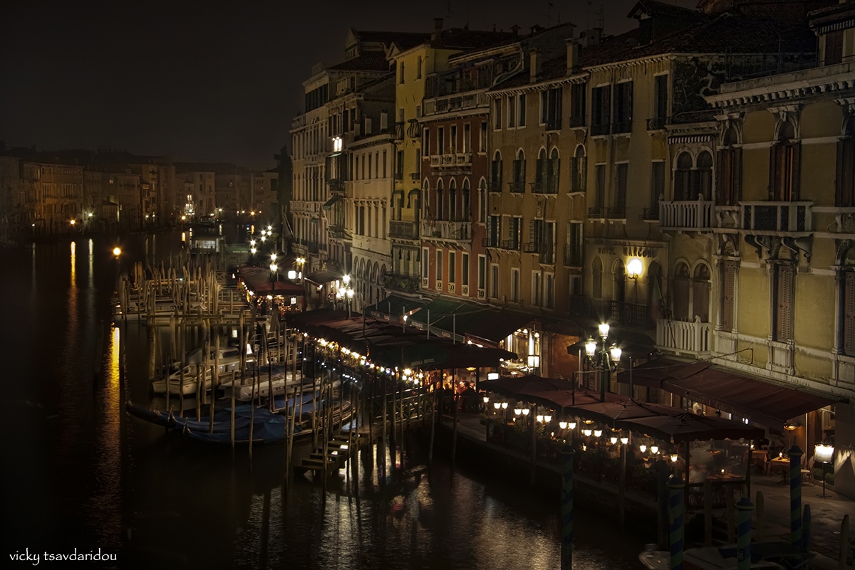
Scenic Sunday
Location on the map
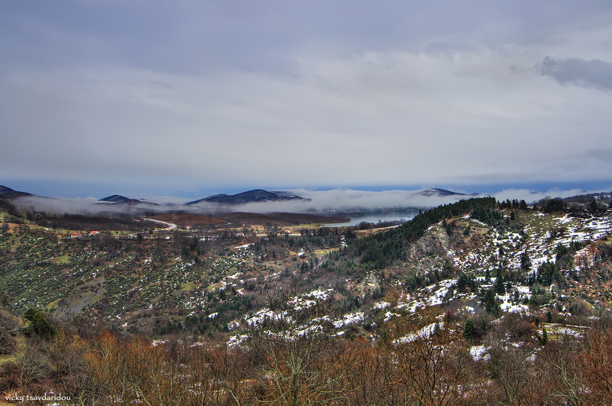
Located in the fertile plain of Thessaly in central Greece, modern Trikala is the Homeric
Trikka (or
Trikki), the birthplace of three of the
Argonauts and one of the areas touted as the birthplace of
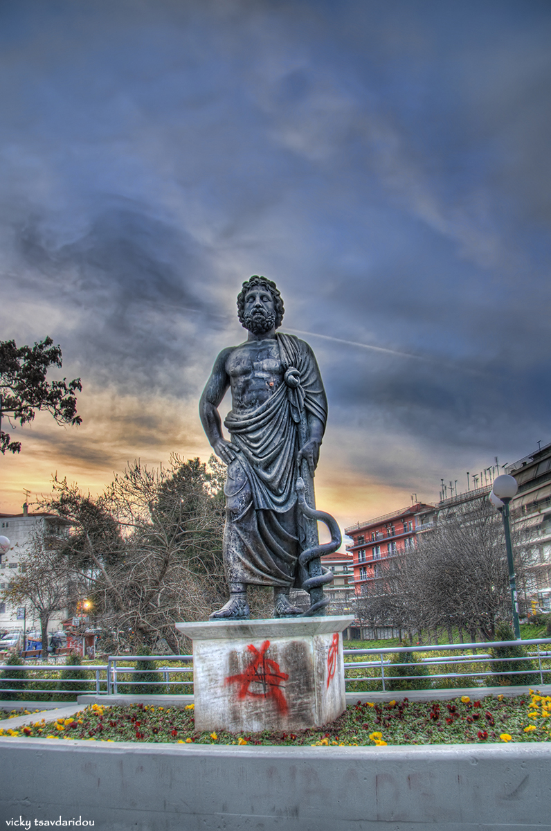
Asclepius (
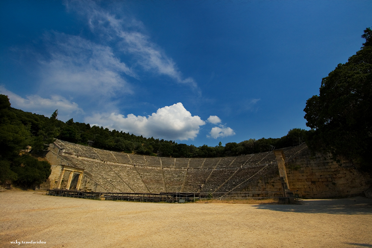
Asklepios), who is more often said to have been born at
Epidaurus, where his main temple was sited in antiquity. Ruins of an old sanctuary to the physician-god, an
Asklepieion, or healing place, are located between the central square and the church of
Saint Nicholas (
Agios Nikolaos) in Trikala; it is the oldest
Aesculapium of Greece - a kind of medical centre, from which the worship of Aesculapius gradually spread.
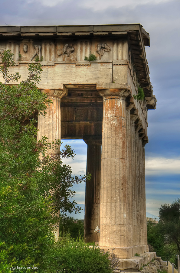
There are other late
Hellenistic and
Roman period remains to be seen,
mosaic floors, a
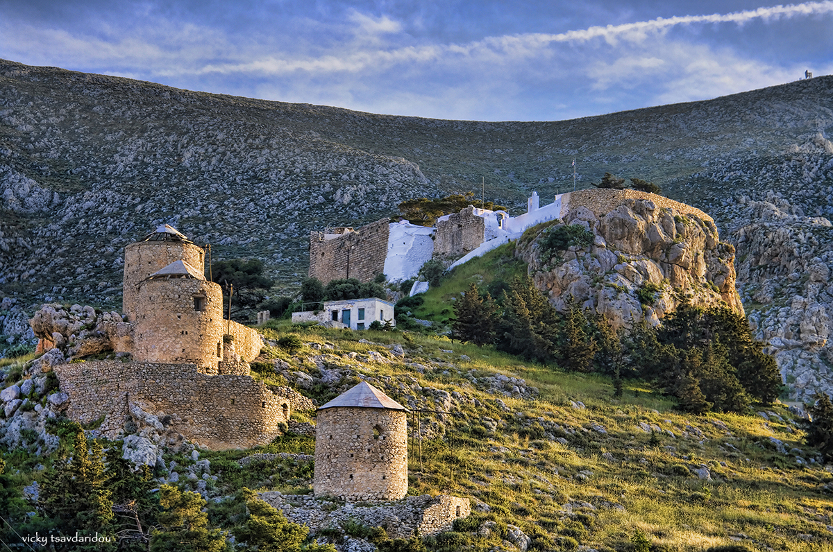
stoa, and baths. Dominated by its
Byzantine fortress on Hellenistic foundations occupying the ancient
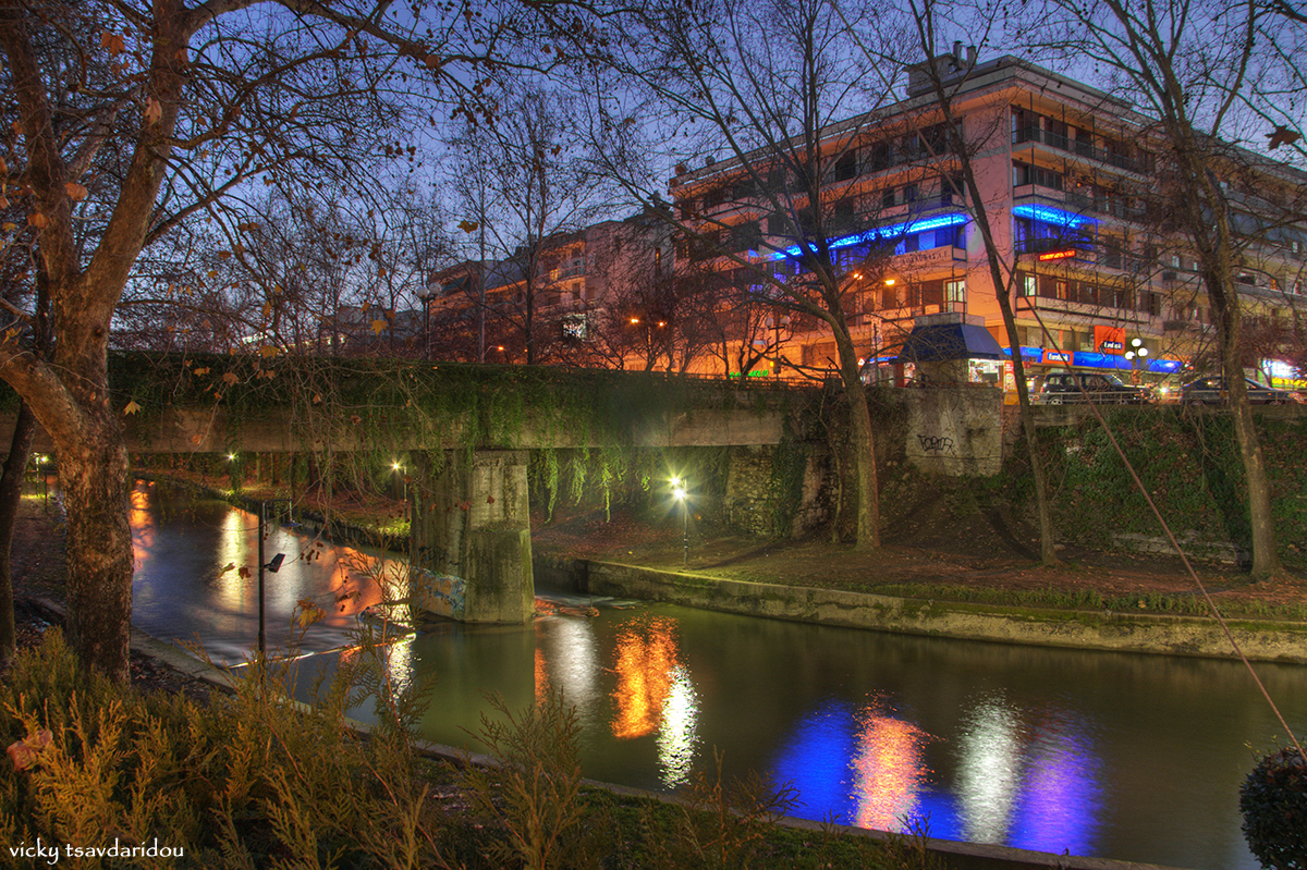
Acropolis, the picturesque city is divided in two by the river
Lithaios, with the churches of
Agios Demetrios and
Agii Anargyri lending more Byzantine character to the modern town. She was managed by
First Bulgarian Empire (920-922, 977-983, 996-997) due to occupations by
Simeon I and
Samuil. She was part of
Great Wallachia (1204-1215),
Despotate of Epirus (1215-1335), Despotate of Thessaly, who was a branch of one of Epirus, (1230-1335) (Suzerenity of
Second Bulgarian Empire between 1230-1241,
Nicean Empire between 1241-1261 and Byzantine Empire between 1261-1335),
Serbian Empire (1348-1373),
Byzantine Empire (1335-1348, 1373-1394, 1403-1411) and Ottoman Empire (1394-1403 and 1411-1881). Trikala was ceded to Greece in 1881 after
Treaty of Berlin. It was captured again by Ottomans during the
Greco-Turkish War of 1897 on April 28 for six months.
During the
Principality of Pindus the national assembly of this state sat in Trikala.
Trikala is home to the General Hospital of the Trikala Prefecture. The Physical Education and Sport Science department of the University of Thessaly is also located in Trikala, and was founded in 1994, with the first students being admitted in the academic year 1994-1995; it was originally housed in the Matsopoulos Park facility, but moved to the new Karyes campus in July 1999. Trikala has over 20 schools of secondary education, and a modern night technical school also functions in the town.
Since December 2005, the Municipality of Trikala offers its residents free high speed Wireless Internet connection. As of 2007, around 95% of the total area of Trikala has access; this is one of the few European cities to offer such a service for free. Since 2009 tele-medicine is available for its residents, to track serious conditions without the need to visit hospitals.
Population: 137,723
(2005)