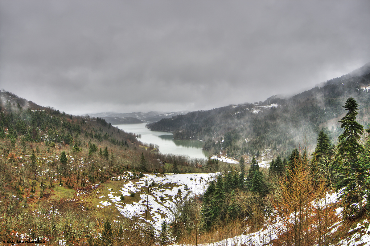
Helmos Mountain
Hiking experience, Helmos mountain N38 01.823 E22 11.781
Skywatch Friday
Εμφάνιση αναρτήσεων με ετικέτα Skywatch Friday. Εμφάνιση όλων των αναρτήσεων
Εμφάνιση αναρτήσεων με ετικέτα Skywatch Friday. Εμφάνιση όλων των αναρτήσεων
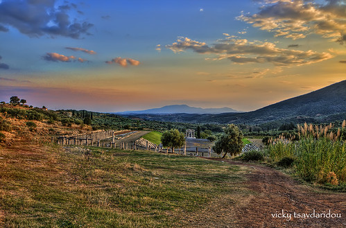
Stadium
Stadium, a photo by Vicky Tsavdaridou on Flickr.
Skywatch Friday, Scenicsunday, Our world
Ancient Messini
The best of the best Ancients cities of Greece.
On the sacred mountain of ancient Messini , Ithomi, the heart of the ancient city used to beat. At the foot of the mountain , remains of this city may be seen , still surrounded by walls that are considered to be samples of fontification techniques from the fourth centoury BC
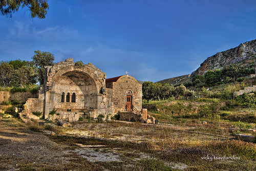
Jesus of Jerusalem - Kalymnos
Kalymnos- Church
Tripod: Manfrotto 190 CX PRO 3 Mag Fiber Head: Manfrotto 322RC2, Canon RC1
Exposure: 10 exposures
Aperture: f/8
Focal Length: 10mm
ISO Speed: 100
Exposure: 10 exposures
Aperture: f/8
Focal Length: 10mm
ISO Speed: 100
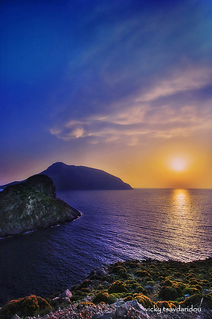
Sunset
Sunset, a photo by Vicky Tsavdaridou on Flickr.
Camera: Canon 400D, Lens: EF-S 17-85mm f/3.5-4.5 USMTripod: Manfrotto 190 CX PRO 3 Mag Fiber Head: Manfrotto 322RC2, Canon RC1
Exposure: 4 (-4,-2,0,+2 EV)
Aperture: f/8
Focal Length: 17mm
ISO Speed: 100
My Blog, Fluidr, Flickriver
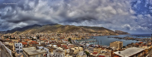
Kalymnos
1st Panorama, a photo by Vicky Tsavdaridou on Flickr.
HDR panorama 1st Camera: Canon 400D, Lens: EF-S 10-22mm f/3.5-4.5 USM
Tripod: Manfrotto 190 CX PRO 3 Mag Fiber Head: Manfrotto 322RC2, Canon RC1
Exposure: 30 exposures=10x3(-2,0,+2 EV)
Aperture: f/8
Focal Length: 10mm
ISO Speed: 100
Initially I created 10 HDR photos in Photomatix. I used Captain's Kimo preset to ensure that all of them will have the same values.
Then I merged these HDR to Photoshop and finally I applied Topaz Adjust Mild color Pop.
Manfrotto 322RC2 is not appropriate for panorama, but it isthe only one that I have. So I had to unscrew the head and take the photos screwing it back οn the horizontal plane. It was very tricky, but I had to try.
My Blog, Fluidr, Flickriver
That's my World, Watery Wednesday, Outdoor Wednesday, Wordless Wednesday, Skywatch Friday, Scenic Sunday
Nea Makri
Skywatch Friday
Location on map
The area was once known as Plesti, but following the 1922 Greek military disaster in Asia Minor and the subsequent repatriation of Greeks from the town of Makri, it was renamed Nea Makri (New Makri).
The United States Navy operated a HF radio communications base north of Nea Makri from the mid to the late 20th century. The transmitters were located further north, at Kato Souli. The callsign of the station was NGR. The American naval communications station was the deployment location for Naval Mobile Construction Battalion NMCB-133, homeported in Gulfport, MS.
Pecs
Skywatch Friday
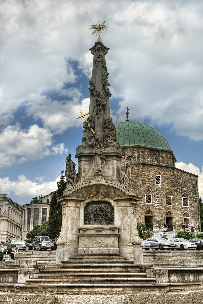
The mosque of Gázi Kászim pasa (pasha Qasim the Victorious)
Pécs is the fifth largest city of Hungary, located on the slopes of the Mecsek mountains in the south-west of the country, close to its border with Croatia. It is the administrative and economical centre of Baranya county. Pécs is also the seat of Roman Catholic Diocese of Pécs.
Pécs is the fifth largest city of Hungary, located on the slopes of the Mecsek mountains in the south-west of the country, close to its border with Croatia. It is the administrative and economical centre of Baranya county. Pécs is also the seat of Roman Catholic Diocese of Pécs.
Pécs has been selected to be the European Capital of Culture in 2010 sharing the title together with Essen and Istanbul. The city's motto is: "The Borderless City".
During World War II Pécs suffered only minor damages, even though a large tank-battle took place 20–25 km south of the city, close to the Villány area late in the war, when the advancing Red Army fought its way towards Austria.
After the war development became fast again, and the city grew, absorbing several nearby towns. In the 1980s Pécs already had 180,000 inhabitants.
After the end of Socialist era (1989–1990) Pécs and its county, like many other areas, were hit hard by the changes, the unemployment rate was high, the mines and several factories were closed, and the war in neighboring Yugoslavia in the 1990s affected the tourism.
Trikala
Skywatch Friday
Location on the map
Located in the fertile plain of Thessaly in central Greece, modern Trikala is the Homeric Trikka (or Trikki), the birthplace of three of the Argonauts and one of the areas touted as the birthplace of Asclepius (Asklepios), who is more often said to have been born at Epidaurus, where his main temple was sited in antiquity. Ruins of an old sanctuary to the physician-god, an Asklepieion, or healing place, are located between the central square and the church of Saint Nicholas (Agios Nikolaos) in Trikala; it is the oldest Aesculapium of Greece - a kind of medical centre, from which the worship of Aesculapius gradually spread.
There are other late Hellenistic and Roman period remains to be seen, mosaic floors, a stoa, and baths. Dominated by its Byzantine fortress on Hellenistic foundations occupying the ancient Acropolis, the picturesque city is divided in two by the river Lithaios, with the churches of Agios Demetrios and Agii Anargyri lending more Byzantine character to the modern town. She was managed by First Bulgarian Empire (920-922, 977-983, 996-997) due to occupations by Simeon I and Samuil. She was part of Great Wallachia (1204-1215), Despotate of Epirus (1215-1335), Despotate of Thessaly, who was a branch of one of Epirus, (1230-1335) (Suzerenity of Second Bulgarian Empire between 1230-1241, Nicean Empire between 1241-1261 and Byzantine Empire between 1261-1335), Serbian Empire (1348-1373), Byzantine Empire (1335-1348, 1373-1394, 1403-1411) and Ottoman Empire (1394-1403 and 1411-1881). Trikala was ceded to Greece in 1881 after Treaty of Berlin. It was captured again by Ottomans during the Greco-Turkish War of 1897 on April 28 for six months.
During the Principality of Pindus the national assembly of this state sat in Trikala.
Trikala is home to the General Hospital of the Trikala Prefecture. The Physical Education and Sport Science department of the University of Thessaly is also located in Trikala, and was founded in 1994, with the first students being admitted in the academic year 1994-1995; it was originally housed in the Matsopoulos Park facility, but moved to the new Karyes campus in July 1999. Trikala has over 20 schools of secondary education, and a modern night technical school also functions in the town.
Since December 2005, the Municipality of Trikala offers its residents free high speed Wireless Internet connection. As of 2007, around 95% of the total area of Trikala has access; this is one of the few European cities to offer such a service for free. Since 2009 tele-medicine is available for its residents, to track serious conditions without the need to visit hospitals.
Population: 137,723 (2005)
Keramargio Tavern
Skywatch Friday
Location on the map
This is a tree - restaurant (tavern)!!! I even had to pass through a tree that stood as a doorway. Fairytale stone fireplace, wonderful tree trunk pillars, picturesque all around view. Definitely a sweet memory!!! It is located near Mouzaki village.
Plastiras lake - 18/02/2010
Skywatch Friday
Scenic Sunday
Every day life
Limni (lake) Plastira is the embellishment of the Karditsa prefecture. It is found in the Plastira Municipality and is 25km West of Karditsa prefecture in altitude 1000m. It was created by the waters of the Megdova river, tributary of Acheloos, and took its name from Nikolao Plastira, a big patriot and visionary of that period. General Nikolaos Plastiras inspired this ambitious project in 1925. Standing at the edge of the river, where lies today the sluice of Megdoba River (Tauropos), he envisioned this area as a huge artificial lake. In 1959, six years after his death, his vision of a beautiful lake came to life, providing with water the thirsty villages of Karditsa and offering electricity of some hundred million kilowatt-hours.
Limni Plastira is one of the bigger artificial lakes in Greece. It constitutes a source of life for the entire of Karditsa. By the lake is drawing all the city of Karditsa and many communities. The water of the lake is reach up on the Larisa 's fields in the summer times. The landscape is magical; the exquisite lake with the deep light blue is surrounded by high and overgrown mountains and thick woods.
The region is considered a paradise; for the nature-worshippers and offers all the shapes of the alternative tourism like climbing, fishing, walk in the wood, swimming and chase. The unique experience will be reward each visitor, without no doubt.
Skywatch Friday - Kalymnos island - 28/01/2010
Skywatch Friday
Kalymnos, (Greek: Κάλυμνος) is a Greek island and municipality in the southeastern Aegean Sea. It belongs to the Dodecanese and is located to the west of the peninsula of Bodrum (the ancient Halicarnassos), between the islands of Kos (south, at a distance of 12 km) and Leros (north, at a distance of less than 2 km): the latter is linked to it through a series of islets. Kalymnos lies between two to five hours away by sea from Rhodes. The island is known as Càlino in Italian and Kilimli or Kelemez in Turkish.
In 2001 the island had a population of 16,235, making it the third most populous island of the Dodecanese, after Kos and Rhodes. It is known in Greece for the affluence of much of its population, and also stands both the wealthiest member of the Dodecanese and one of the wealthiest Greek islands overall.
Parthenon - Acropolis - Athens (15/01/2010)
The Parthenon (Ancient Greek: Παρθενών) is a temple of the Greek goddess Athena whom the people of Athens considered their protector. Its construction began in 447BC and completed in 432BC on the Athenian Acropolis, although decorations of the Parthenon continued until 431BC. It is the most important surviving building of Classical Greece, generally considered to be the culmination of the development of the Doric order. Its decorative sculptures are considered one of the high points of Greek art. The Parthenon is regarded as an enduring symbol of ancient Greece and of Athenian democracy, and one of the world's greatest cultural monuments. The Greek Ministry of Culture is currently carrying out a program of selective restoration and reconstruction to ensure the stability of the partially ruined structure.
The Parthenon itself replaced an older temple of Athena, which historians call the Pre-Parthenon or Older Parthenon, that was destroyed in the Persian invasion of 480 BC. Like most Greek temples, the Parthenon was used as a treasury. For a time it served as the treasury of the Delian League, which later became the Athenian Empire. In the 6th century AD, the Parthenon was converted into a Christian church dedicated to the Virgin Mary. After the Ottoman Turk conquest, it was turned into a mosque in the early 1460s, and it had a minaret built in it. On 26 September 1687 an Ottoman Turk ammunition dump inside the building was ignited by Venetian bombardment. The resulting explosion severely damaged the Parthenon and its sculptures. In 1806, Thomas Bruce, 7th Earl of Elgin removed some of the surviving sculptures, with Ottoman Turk permission. These sculptures, now known as the Elgin Marbles or the Parthenon Marbles, were sold in 1816 to the British Museum in London, where they are now displayed. The Greek government is committed to the return of the sculptures to Greece, so far with no success.
Εγγραφή σε:
Αναρτήσεις (Atom)

